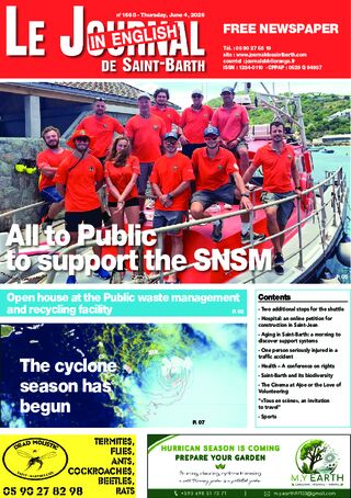
Thierry Jimonet, head of the Guadeloupe weather center for Météo-France, discusses trends for the 2026 hurricane season, which officially began on June 1.
What is the situation at the start of the season?
Sea surface temperatures in the Atlantic Ocean, between Africa and the Caribbean arc, are near normal, or even slightly below. Which is actually a good thing for now. This is due to the frequent trade winds over the past few months, which have prevented sea temperatures from rising too high. On a larger scale, this is linked to the ENSO phenomenon, specifically El Niño and La Niña. But for this season, forecasts indicate that temperatures in the Atlantic will rise above normal, which will put us at a disadvantage in terms of hurricane activity.
The forecasts are, however, lower than those of previous years.
We can expect fewer storms in the Atlantic, yes. That’s what all the global weather centers are reporting. We should see eleven named cyclones, with an uncertainty of plus or minus three. Five hurricanes with a margin of error of plus or minus two, and between one and three major hurricanes in the Atlantic. But we must remain cautious because sea surface temperatures will rise again and favor hurricane activity. In 2025, the number was below normal. But that didn’t stop us from having a very active season with three Category 5 hurricanes in the Atlantic. Notably Melissa, which hit Jamaica. Once again, just because there are fewer storms doesn’t mean there’s no danger. In 1997 and 2015, we saw similar patterns. With eight storms in 1997 and eleven in 2015, these storms brought heavy rainfall that caused significant damage. In recent years, we’ve seen a huge impact from heavy rainfall. Water is the greatest danger. It only takes one storm. Last year, Erin passed 150 kilometers from the Northern Islands, fortunately on the right side.
Do the trends at the start of this season suggest the possibility of an early storm, like Beryl in 2025?
We’re not in the same situation as last year, since sea surface temperatures were much higher at the start of the season. So conditions are less conducive to that kind of major storm. We can expect a later start. The big unknown is the intensity of the Saharan dust clouds. We have no indication of whether we’ll have a lot of them or not. That’s another factor that could disrupt the season.
What are the effects of the dust clouds?
Generally speaking, these dust storms bring very dry air to altitudes of three or four thousand meters—precisely the altitudes where cyclones require high humidity. So that’s not favorable. But it all depends on the path, because in some cases it can actually help them form. So it’s very complex to determine!
How is the El Niño phenomenon evolving?
We are heading toward a relatively strong temperature anomaly in the Pacific Ocean. Normally, we have trade winds blowing from northern South America. When the wind moves from South America toward the Pacific, it carries masses of water with it. Since nature abhors a vacuum, this displacement is compensated by an upwelling of deep, and therefore colder, water. And we end up with cooler-than-normal waters in the Pacific. But with El Niño, the opposite happens, and we end up with very warm waters that also generate higher temperatures in the air. The correlation of these warmer waters near us will generate hurricane activity in this Pacific region and alter the high-altitude winds that spread toward the Atlantic, which do not favor hurricane activity in our region.
How and where can you best track the hurricane season?
On the Météo France website, of course! We won’t be focusing on every phenomenon in the Atlantic, but we have a daily hurricane bulletin. It tracks everything from tropical waves to the hurricane-related events that could affect us. There’s also the NHC (National Hurricane Center) website, which features charts showing the probabilities of formation when tropical waves develop.


")